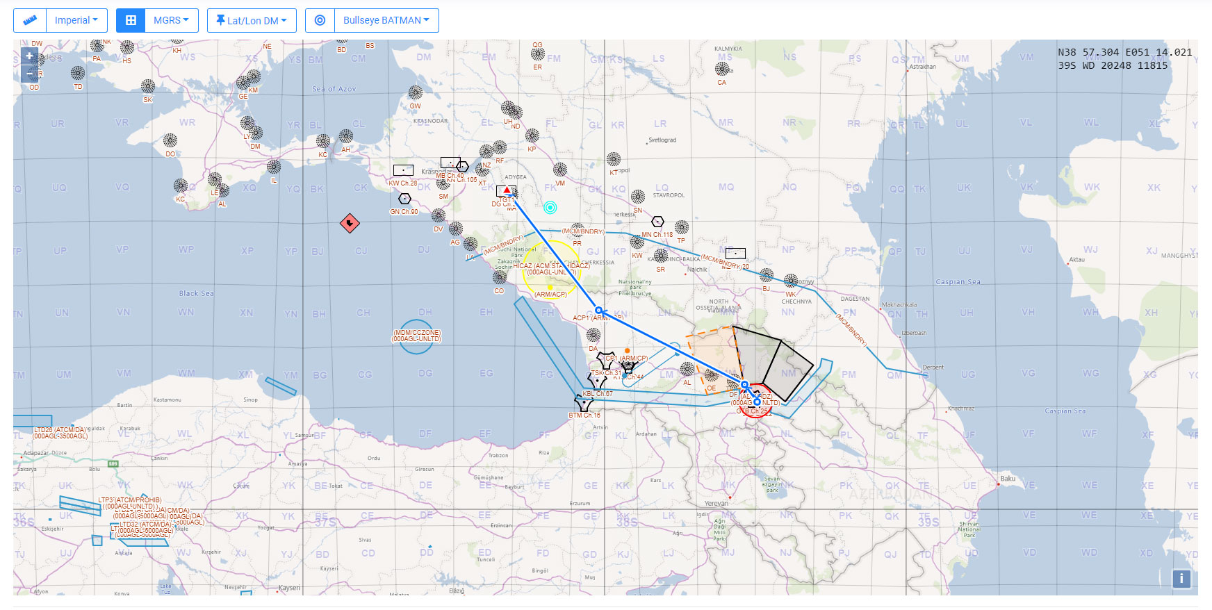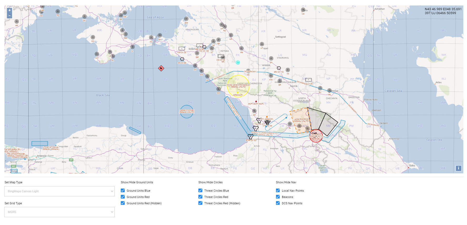
First MGRS release is out
AOC Tools and Mission Planner now support the MGRS system. This first basic version displays the UTM and MGRS 100 km grids and it's possible to choose between the WGS84 and the MGRS grids. Also, the MGRS coordinates are always displayed on the top right corner of the map, while it's possible to switch between DM and DMS formats for WGS84 coordinates (only in Mission Planner). In Mission Planner the selected WGS84 format will be used to display coordinates of all features on the map and in the Mission Data Card.
Gallery