Combined Ops Elevates Operational Control with Integrated SRS Interface and DTC Improvements
Integrated SRS radio management within DCS Airspace via Combined Ops Link, alongside key DTC enhancements for the F/A-18C and F-16C in DCS Mission Planner.
View More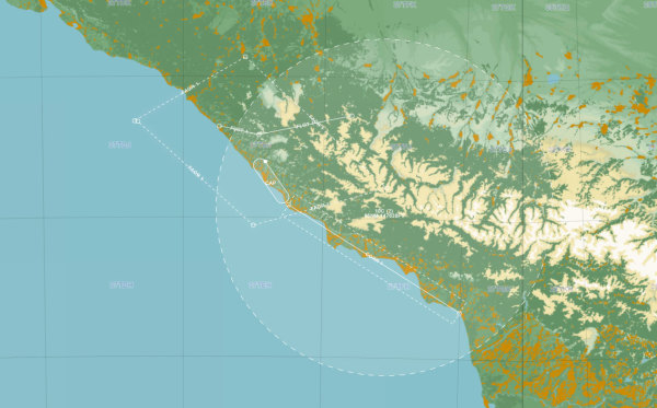
Development Update: New DTC Features for F/A-18C & Interface Improvements
Upgrade your pre-flight planning with new F/A-18C DTC overlays, refined corridors, and improved menus. Plus, DTC management for the Hornet and Viper is nearly complete—read all about what's next!
View More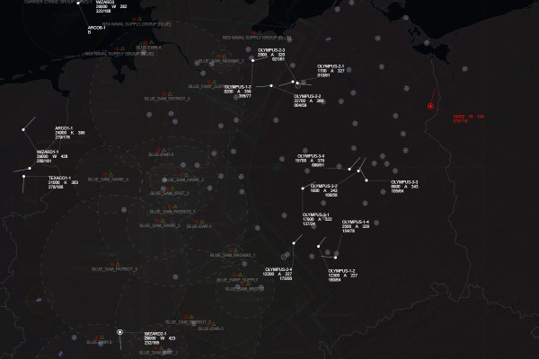
DCS Airspace Update: Advanced ATC Label Logic and Tactical Refinements
A major overhaul of the label arbitration system introduces ATC-standard clarity to the tactical display, alongside critical fixes for intercept geometry and UI management.
View MoreMajor Update: Introducing Advanced Realism Modes and IFF Simulation
The latest update brings a significant overhaul to situational awareness and server-side control, headlined by the new Real Mode and enhanced IFF integration.
View MoreData Transfer Cartridge Support
Data Transfer Cartridge support is now available, enabling .dtc file exports for flight plans, radio presets, and offset points following the latest DCS World update.
View More