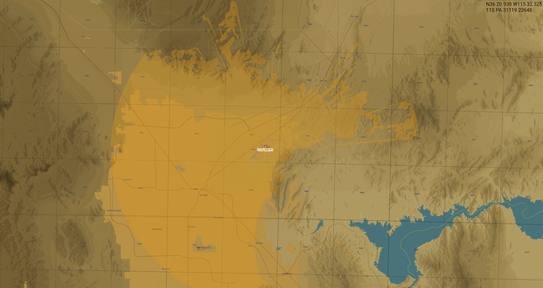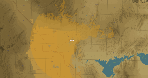
Feature Enhancement: Versatile Line-of-Sight (LOS) Testing
You can now perform on-the-fly LOS calculations from any point on the map, giving you even more flexibility in planning and threat assessment.
What's New?
Beyond calculating visibility for specific units, you can now trigger a LOS test at any arbitrary location. This is perfect for "what-if" scenarios or evaluating terrain masking before deploying assets.
How to use it:
- Right-click anywhere on the map.
- Select "Test LOS" from the context menu.
- Choose your desired detection range: 20 NM, 50 NM, or 100 NM.
The system will instantly calculate the visibility coverage based on the local topography and the selected range, displaying the results. These calculations are powered by high-resolution SRTM1 data extracted directly from DCS, ensuring that the terrain-shaded results and LOS "holes" perfectly match the environment and elevation model you experience during your mission.
Gallery