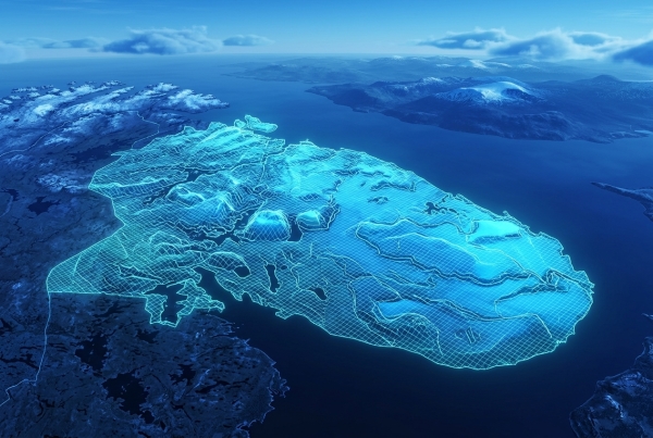
Combined Ops now provides high-precision SRTM1 elevation data for the Kola theatre across its entire suite of DCS World applications. Extracted directly from DCS World, the terrain elevation dataset ensures accurate and consistent geographical data throughout the platform.
High-Precision Terrain Elevation Data Across 10 Theatres
Combined Ops has expanded its terrain elevation database with SRTM1 elevation data for the DCS World Kola theatre. With this addition, complete elevation data is now available across ten DCS World theatres:
- Afghanistan
- Caucasus
- Germany Cold War
- Iraq
- Kola
- Marianas
- Nevada
- Persian Gulf
- Sinai
- Syria
All datasets use SRTM1 resolution (one arc-second) and are extracted directly from DCS World. This approach ensures that elevation information reflects the terrain represented in the actual simulation environment, rather than relying on external geographical datasets that may differ from the in-game terrain.
One Consistent Terrain Dataset Across Combined Ops
The elevation data is shared across the entire Combined Ops platform and is available to all supported applications, including DCS Airspace, DCS Mission Planner and DCS AOC Tools.
Accurate terrain elevation is essential for geographical analysis in DCS World. It supports terrain-aware operations and radar line-of-sight (LOS) calculations, providing a consistent source of elevation information for mission planning, airspace control and operational analysis.
Built Around DCS World Terrain Accuracy
Extracting elevation data directly from DCS World reflects the approach we follow across Combined Ops: prioritising fidelity to the simulation environment and consistency between applications.
With complete SRTM1 elevation coverage now available for these ten theatres, Combined Ops provides a shared, high-resolution terrain data foundation across its suite of applications for DCS World virtual squadrons.
Combined Ops is a free suite of web-based applications for DCS World, providing mission planning, ATO and operational documentation, and real-time ATC, AWACS and GCI capabilities.