

Combined Ops Adds High-Precision SRTM1 Elevation Data for the DCS World Kola Theatre
Combined Ops now provides high-precision SRTM1 elevation data for the Kola theatre across its entire suite of DCS World applications. Extracted directly from DCS World, the terrain elevation dataset ensures accurate and consistent geographical data throughout the platform.
Read Article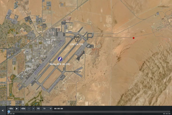
Combined Ops Updates: Interactive Mission Timeline and DCS NTTR Satellite Maps
Combined Ops introduces an interactive mission timeline in DCS AOC Tools and DCS Mission Planner, alongside the first phase of its DCS World map update initiative: new satellite imagery for the Nevada Test and Training Range (NTTR), now available across DCS AOC Tools, DCS Mission Planner, and DCS Airspace.
Read Article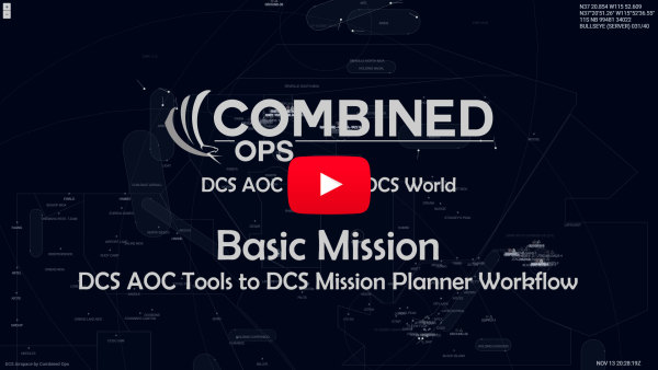
DCS AOC Tools Mission Planning: From .miz File to ATO and DCS Mission Planner
A short video showing how a basic DCS World mission is transformed into an operational ATO and shared with DCS Mission Planner for pilot flight preparation.
Read ArticleData Transfer Cartridge Support
Data Transfer Cartridge support is now available, enabling .dtc file exports for flight plans, radio presets, and offset points following the latest DCS World update.
Read Article
DCS World drawings and ACO integration
Drawings and ACO are now available on Combined Ops and DCS World
Read Article