

Combined Ops Adds High-Precision SRTM1 Elevation Data for the DCS World Kola Theatre
Combined Ops now provides high-precision SRTM1 elevation data for the Kola theatre across its entire suite of DCS World applications. Extracted directly from DCS World, the terrain elevation dataset ensures accurate and consistent geographical data throughout the platform.
Read Article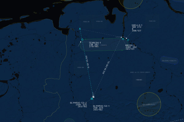
DCS Airspace Update: Track-Anchored and Persistent BRAA
Improve real-time radar track management in DCS Airspace with track-anchored BRAA measurements and persistent, live-updating BRAA between selected tracks.
Read Article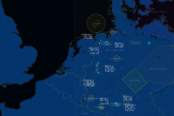
DCS Airspace Update: Realistic AWACS Map, Symbology and Enhanced Track Identification
DCS Airspace introduces a realistic tactical map, enhanced AWACS track symbology, six identification states, and a new ATO-based Mode 3 classification option for more realistic airspace control in DCS World.
Read ArticleDCS Airspace Adds Station Selection and Position Restrictions
Two new server-side options give squadron administrators greater control over station selection and SRS line-of-sight realism in DCS Airspace, helping enforce more realistic communications and controller positioning.
Read ArticleDCS Airspace Update: Custom Map Views, Track Identification and Radar LOS
DCS Airspace expands its real-time ATC, AWACS and GCI capabilities for DCS World with custom tactical map views, quick track identification, radar line-of-sight calculations, terrain elevation data and improved interface performance.
Read Article